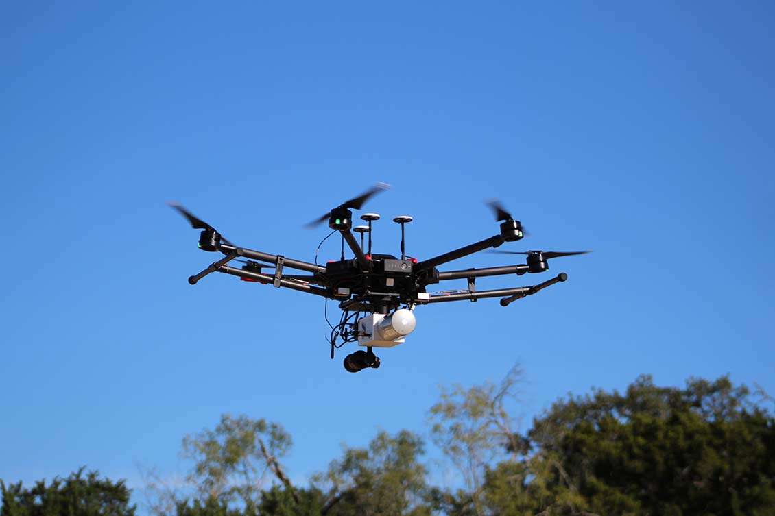
Pape-Dawson provided civil engineering and surveying services for the replacement of 22 on-system bridges throughout TxDOT’s Yoakum District. This project consisted of the acquisition of survey data within a 4,500′ section of FM 766, including an 850′ bridge over the Guadalupe River near Cuero. Due to the length and width of the bridge and the complexity of the substructure, the Pape-Dawson survey and geospatial team designed a hybrid acquisition solution for the project, including a mix of terrestrial, mobile LiDAR, and conventional surveying. This data was then used to generate a seamless terrestrial/mobile hybrid point cloud, merged with the conventional surveying data, to generate a planimetric and topographic drawing for the entire project limits. The benefits of the hybrid approach included the elimination of lane closures and a reduced work schedule (1 day).


