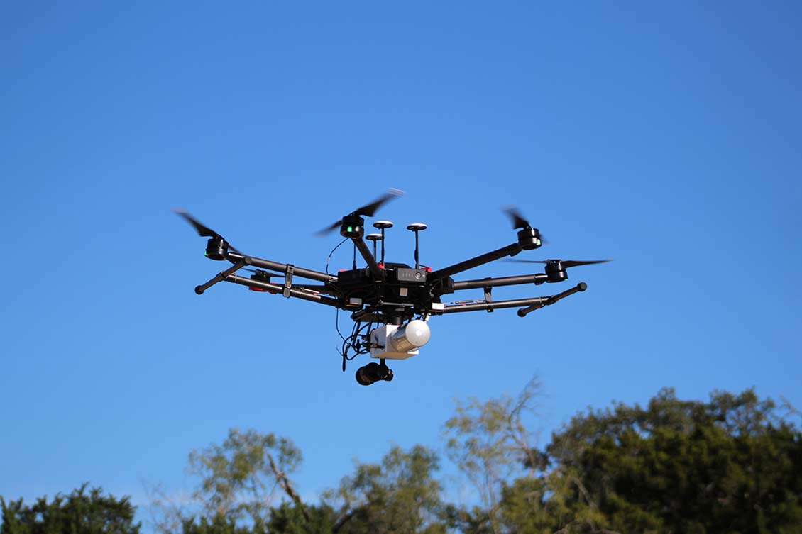
Since 2007, Pape-Dawson has provided professional land surveying services for nearly 100 projects for CPS Energy. Most recently, our geospatial department mobilized our FAA-licensed UAV pilot to collect aerial LiDAR and photogrammetry data using our unmanned aerial system. We provided digital, orthomosaic, and contour maps, as well as a digital terrain model.


